

Ice loss: The contribution to sea-level rise of the Amundsen Sea sector of Antarctica (iSTAR D)
Principal Investigator: Professor Andy Shepherd, University of Leeds
Our science challenge
Prior to the advent of satellites, very little was known about the rates at which ice sheets would respond to climate change. During the past two decades measurements from successive Earth-orbiting satellites including ERS-1, ERS-2, ENVISAT, GRACE and most recently CryoSat-2, have provided valuable insight about the behaviour of Antarctica’s large ice sheets.
Whilst satellite observations, using a range of technologies, allow us to estimate how much ice is being lost to the ocean, they cannot distinguish changes in ice density from changes in mass; or distinguish changes due to mass ice loss from those due to the motion of the underlying solid Earth.
Our research goal
To capture ice-based measurements of the Amundsen sector ice streams that will help us reconstruct these ‘missing’ data from the two decades of satellite measurements. These combined data will help us unravel uncertainties in our projections for the future and provide us with a more comprehensive picture of mass ice loss. Our ice investigations will focus on the large rivers of ice (ice streams) to determine the recent past and present contribution to sea level of the Amundsen sector drainage basin. These investigations will run alongside those of our colleagues who are investigating the effect of thinning glaciers and ice sheet movement. (Dynamic ice – iSTAR C).
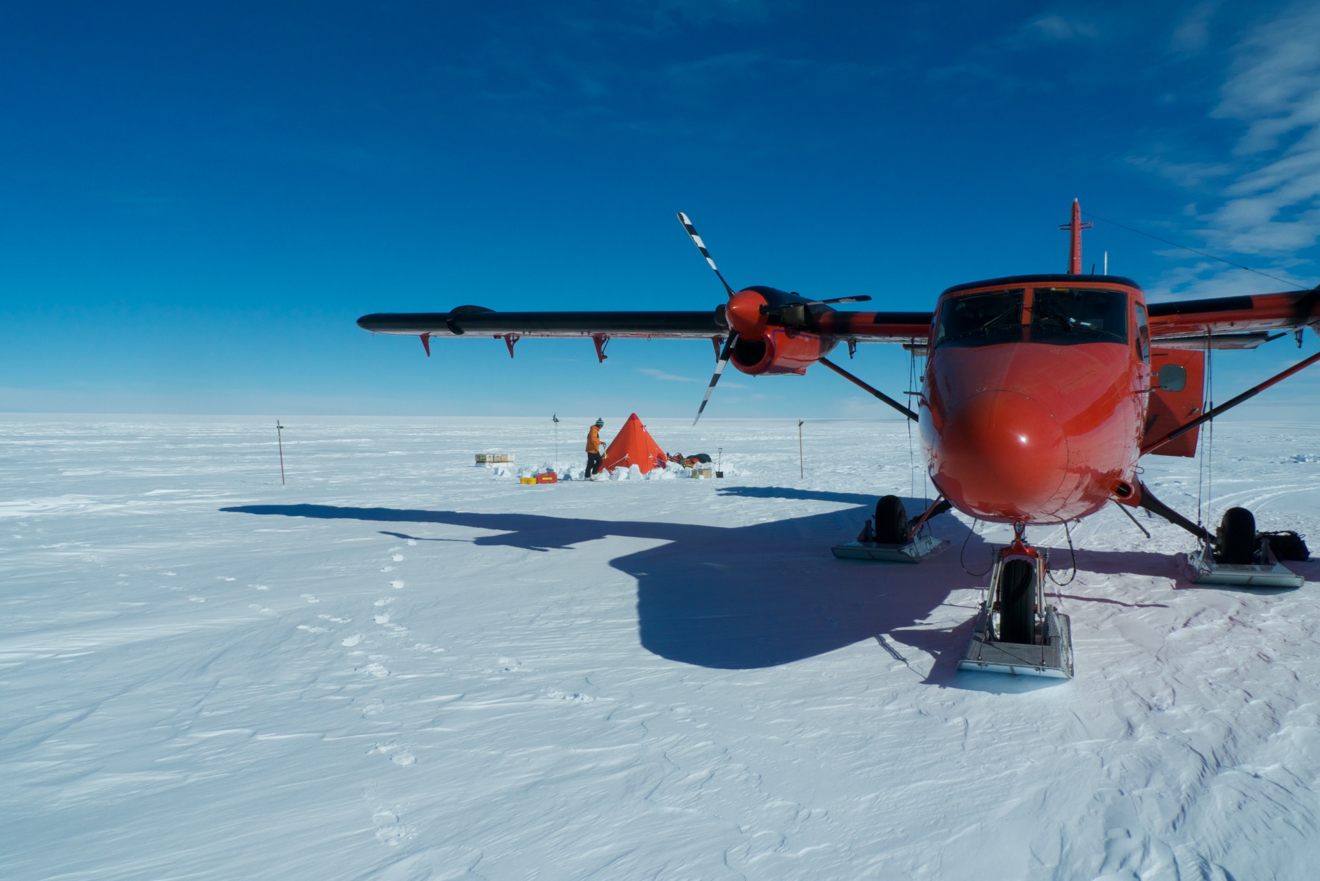
Our deep field mission
At the heart of our mission is an 800 km traverse over the Pine Island glacier basin in the austral summers of 2012/13 and 2013/14. Two tracked vehicles will travel alongside the tributaries of the Pine Island Glacier carrying scientists and their equipment. They will extract both shallow and deeper ice cores to obtain a continuous record of the snowfall and its density. Annual accumulation rates will be assessed from data collected by an airborne survey using very high-resolution snow radar. A separate research party will fly out from Union glacier in West Antarctica to rare exposures of the Earth’s crusts called nunataks. These are located south of the Pine Island basin. Using Global Positioning Data stations attached to the nunataks the motion of the solid Earth can be determined.
Our research outcomes
These observations will be used to, first, evaluate the quality of the models of Antarctic accumulation, density and solid Earth motion that are presently used with the satellite data. With this information, we will be able to determine the errors in the historical (from 1992) and on-going series of altimeter, SAR and gravimeter satellites. Second, the data we collect (and other data of Project Partners and beyond) will be used to update these models. Finally, we will generate the best estimate of the contribution to sea level, and its trend in time, throughout the Amundsen sector basins of the West Antarctic ice sheet. The result will also, when combined with the outcome of iSTAR-C, provide the best available prediction into the future of these great glacier basins.
