

 Fact file – salt in our oceans
Five fast facts about salt in our oceans…
- Salinity is the concentration of dissolved salts in a body of water.
- Some of the salts in the oceans originate from deep-sea volcanic vents.
- Salinity is the major driving force for oceanic currents which have a significant effect on global climate.
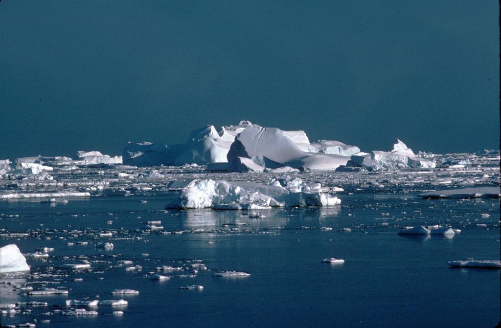
- Salinity levels change as fresh water is added (via precipitation or melting) or taken away (via evaporation or freezing).
- Salinity can be measured in many ways, from hand-held scopes to remotely-operated, unmanned, underwater vehicles.
Why are our oceans salty?
When water passes over a rock, small amounts of minerals in the rock are eroded away and mixed into the water. Sea salt is a combination of some of these minerals, including chloride, sodium, sulphate and magnesium. The majority of mineral salts are added to the ocean via rivers, but some are also added through deep-sea hydrothermal vents.
What affects salinity levels?
Ocean salinity depends on rates of precipitation, evaporation, freezing and melting. When seawater evaporates or turns into sea ice, mineral salts are left behind, increasing ocean salinity. When freshwater is added to the ocean via precipitation or the melting of sea ice, salinity decreases.
Why is ocean salinity important?
Salinity is the major driving force of oceanic currents. Surface waters that are subject to evaporation have a higher salinity level than water at depth, causing them to sink and initiate an oceanic ‘conveyor belt’. The ocean’s currents play an important role in local climate. The reason that Canada is so much colder than Europe, despite being at the same latitude, is due to the currents in the North Atlantic. If ocean salinity where to change significantly (due to polar ice melting for example), it could have a considerable effect on global climate patterns.
How do scientists study ocean salinity?
Water salinity can be measured in many ways, from looking through a hand-held refractometer to analysing data collected via satellites. The method chosen will depend on the question which the research is aiming to answer.
One method recently deployed by the iSTAR programme to look at the ocean’s role in climate involves using an Autonomous Underwater Vehicle called the Seaglider. This is an unmanned, remotely-operated submersible that collects salinity and temperature data between the surface and 1,000m deep. Each time Seaglider surfaces, it sends the oceanic data, along with its GPS location, to scientists via satellite transmission.
